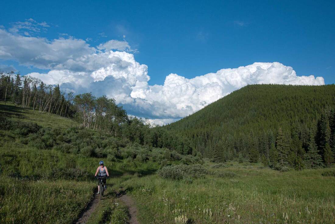
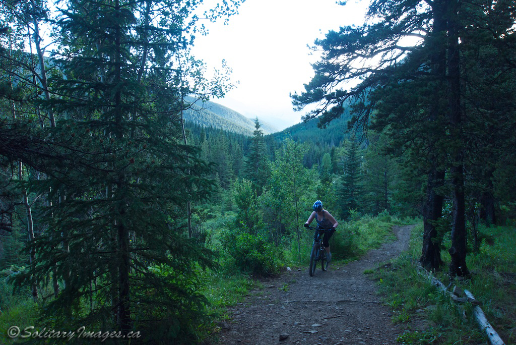
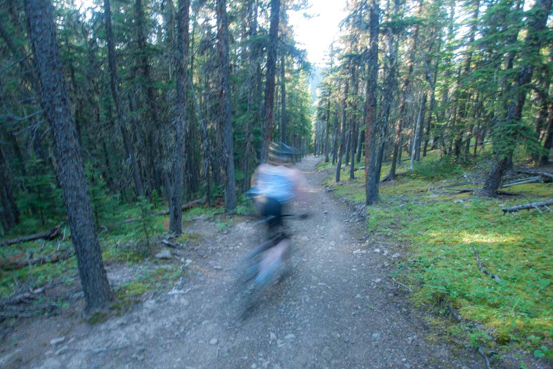
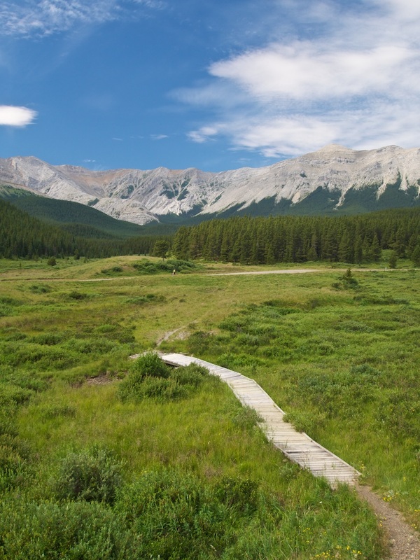
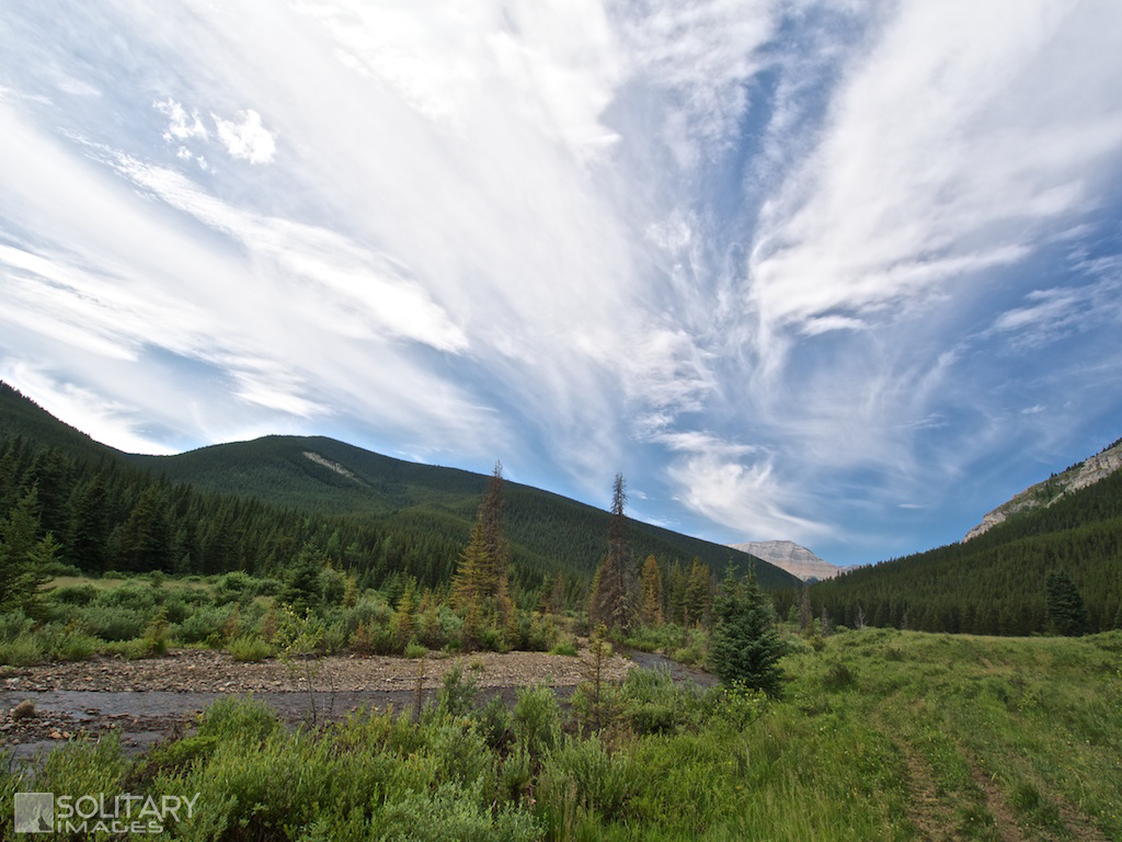
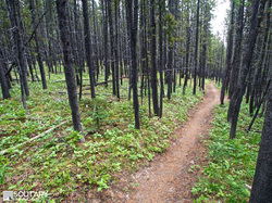
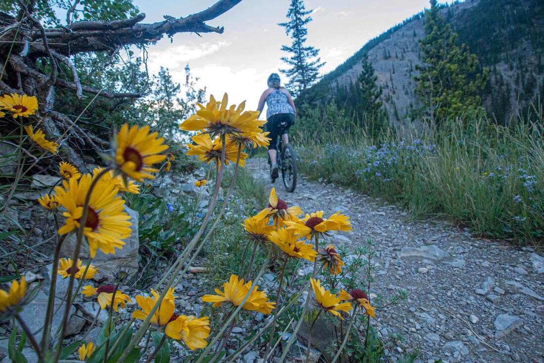
A classic cross country link-up that dishes out everything from valley cruising next to a burbling creek, heart pounding uphills through dense forest, to amazing views. Short technical portions combine with wide trails to give you a wide variety of style. While this route can be ridden both ways, the majority choose to take the steeper route up Powderface Creek and enjoy the longer flow ride down Prairie Creek.
Powderface - Prairie Link:
Style: Cross-country Distance: 12.3km Elevation Gain: 246m Total Elevation Gain: 400m Physical Difficulty: 2/5 Technical Difficulty: 3/5 Time: 1.5-2.5 Powderface Creek - Prairie Creek (Full Loop): Style: Cross-country Distance: 21km Elevation Gain: 512m Total Elevation Gain: 715m Physical Difficulty: 3/5 Technical Difficulty: 3/5 Time: 2-4 Hours 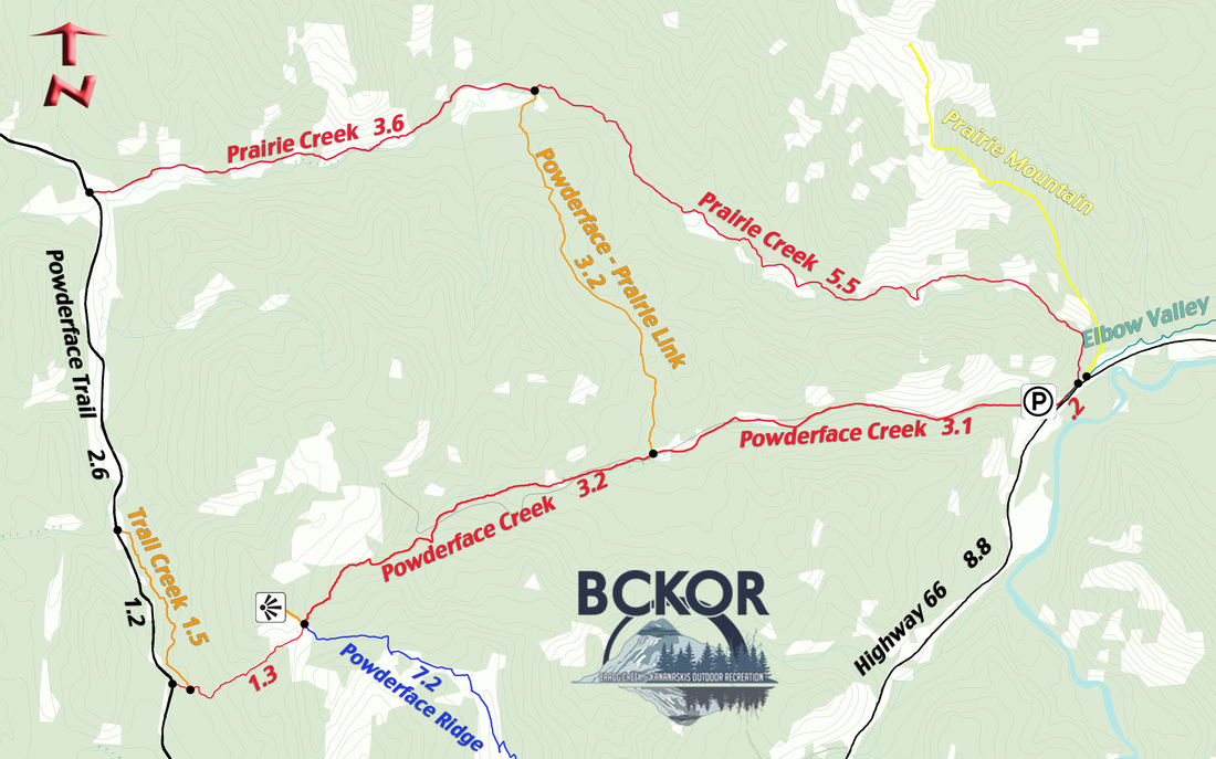
Powderface Creek - Trail Creek - Prairie Creek & Powderface - Prairie Link
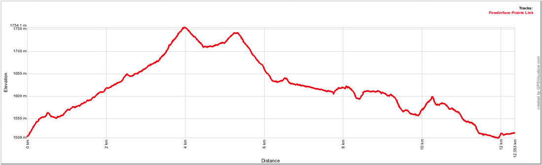
Powderface to Prairie Link (Short Loop)
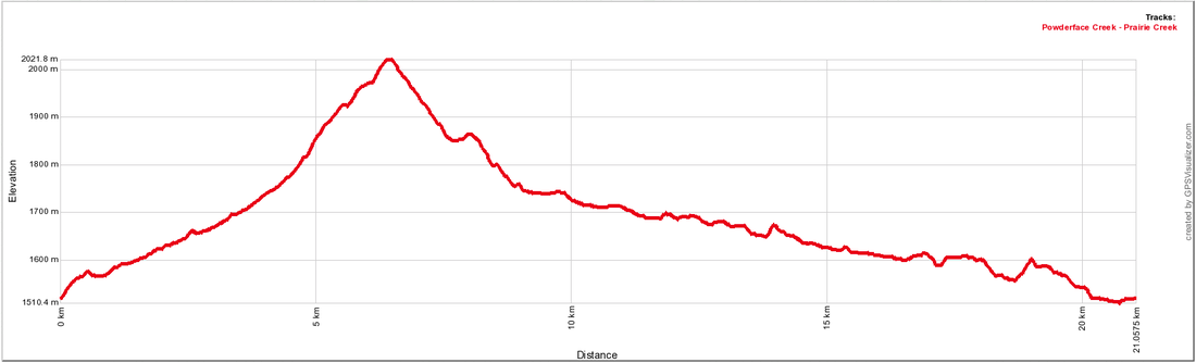
Powderface Creek - Trail Creek - Powderface Trail - Prairie Creek (long loop)
|
To Get Here: From the 4 way stop on HWY 22 next to Bragg Creek, take HWY 22 south to a T intersection. Turn right (westbound) on HWY 66. Travel 19. 1km west down HWY 66 to the Powderface parking lot on your right just past Elbow Falls and the winter gates.
Trail Description (clockwise):
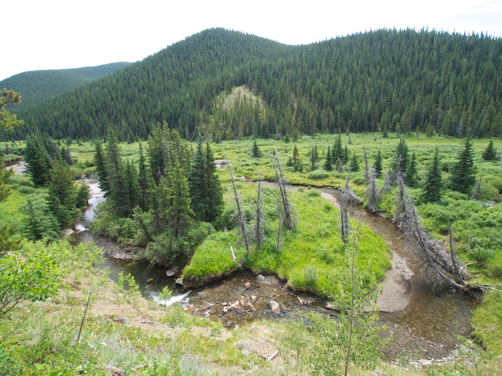
From the parking lot, start up the gravel road and begin the climb straight out of the gates. After the initial leg burner, the trail relaxes as it descends down across a creek and continues a more relaxed pace back uphill. At 3.1km, you'll come across a trail map at the Link intersection and can decide to either power on the full 21km loop or take the 12.3km link loop: Link Loop: A right turn will put you on the short Prairie Link Loop. You may initially curse your decision as the trail steepens and heads to the trail summit. After cresting the summit, you're rewarded with a short downhill before being forced to regain almost all of the lost elevation. A short climb back up leads to the final long descent into Prairie Creek. Prairie Creek provides a fast paced technical ride back with a few short steep climbs in-between. Prairie Creek will pop out next to Highway 66, 200m east of Powderface parking Full Loop: Continuing straight will take you around the long Prairie Creek Loop (21km/512m). Buckle down for a long strenuous climb up and over the north portion of Powderface Ridge, before dropping quickly back down to Powderface Trail. Just before you reach the road, Trail Creek runs northward and parallels the road, providing an excellent single-track alternative. 1.5km later, Trail Creek joins Powderface Trail and you'll have to ride the road for another 2.6km before entering Prairie Creek Trail on your right. Prairie Creek trail intersects with Powderface Trail where the valley opens up to the west at the end of Nihahi Ridge just past a small bridge that crosses Prairie Creek. Head east on the slowly descending Prairie Creek Trail as it follows alongside the creek meandering up and down the riverbank until popping out next to Highway 66, 200m east of Powderface parking. | ||||||