Backcountry Skiing Areas
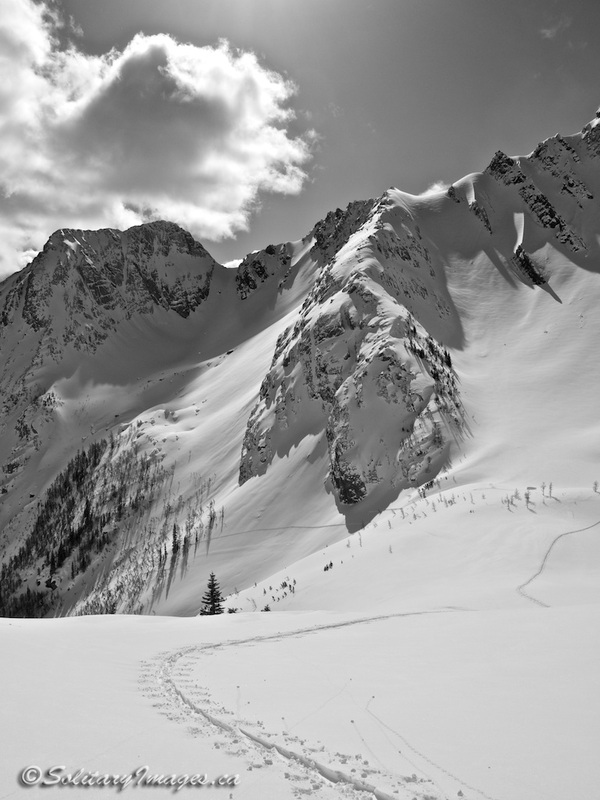
All routes involve significant avalanche hazard and are located in a remote wilderness area. Users must have advanced avalanche training, be familiar with map and compass navigation and be able to provide self rescue in the event of an incident. Kananaskis has a shallow snowpack, high winds and extreme temperature changes. As a result the snowpack is weak and often poses a very high avalanche risk. If in doubt, always hire a guide (click to open).
Kananaskis Avalanche Forecast (click to open)
Kananaskis Avalanche Forecast (click to open)

|
|
Click on highlighted names for complete trail descriptions. More trails coming soon...
|
Name
1. Miner's Gully
2. Mount Sparrowhawk
3. Tent Ridge
4. Super Slope
5. Pigs Tail / Spray Range Trav
6. Mount James Walker
7. Burstall Pass
8. French / Haig / Robertson
9. Hero Knob
10. Purple Knob
11. Black Prince
11. Knobs Traverse
12. Rae Glacier
13. Mount Joffre
|
Distance
4 km
7 km
4 km
6.1 km
6.3 km
13.5 km
12 km
16 km
20km
7.7 km
7.5km
6.5km
10.2 km
7.2 km
28.5 km
|
Elev Gain
775 m
1475 m
625 m
440 m
450 m
1700 m
1100 m
530 m
1100 m
600 m
630 m
450m
1169 m
610 m
1750 m
|
Phys/Tech
3 / 5
4 / 3
3 / 3
2 / 4
2 / 4
4 / 3
4 / 3
2 / 1
4 / 3
3 / 3
3 / 4
2 / 2
4 / 4
2 / 2
5 / 5
|
Avi Rating
Complex
Complex
Complex
Challenging
Challenging
Complex
Complex
Challenging
Complex
Complex
Complex
Challenging
Complex
Complex
Complex
|
Distance - based on car to car distance with the traverses ending in a different location.
Elevation Gain - based on total elevation gain
Physical/Technical - difficulty based on a scale of 5, with 1 being the easiest and 5 the hardest
Avalanche Rating - Avalanche Terrain Exposure Scale (ATES) on a scale of three: Simple, Challenging & Complex
Elevation Gain - based on total elevation gain
Physical/Technical - difficulty based on a scale of 5, with 1 being the easiest and 5 the hardest
Avalanche Rating - Avalanche Terrain Exposure Scale (ATES) on a scale of three: Simple, Challenging & Complex