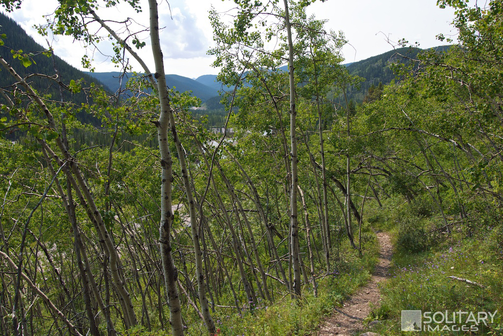
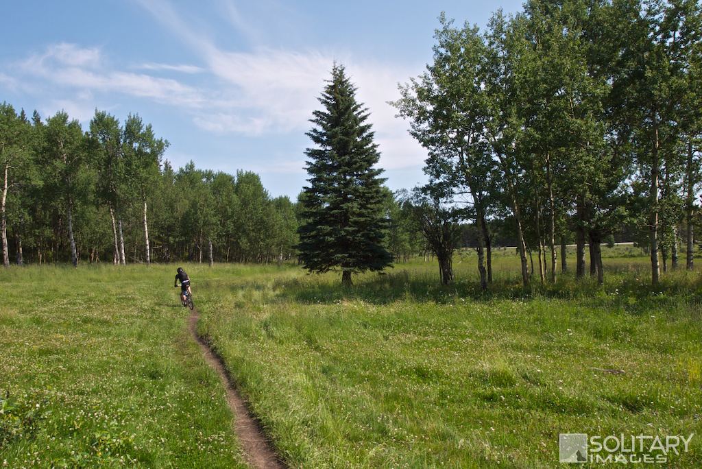
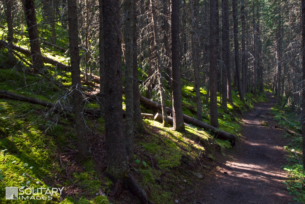
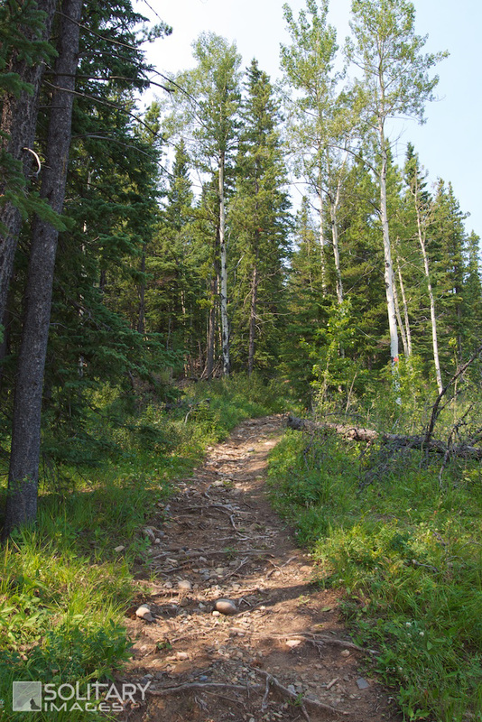
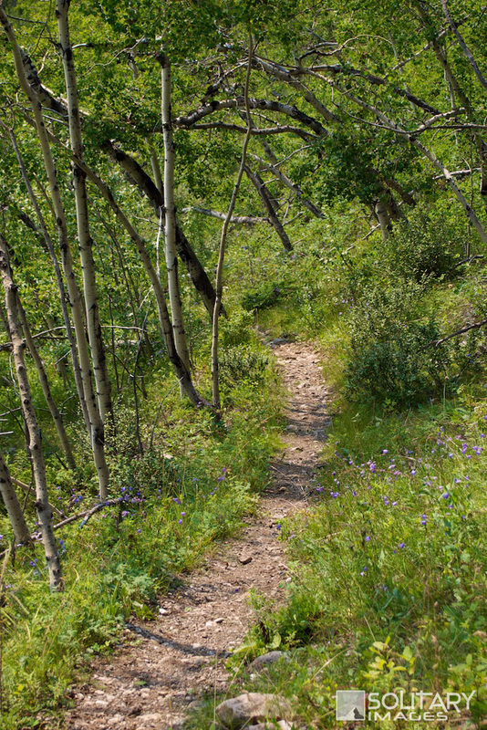
A varied old school trail that provides a combination of single track and wide trails, through valley forests, overlooking river views, and snaking around open meadows. Most of Elbow Valley Trail requires a novice riding ability, however, there is some technical riding between Riverview Trail and Powderface Parking. This trail is an essential link for many of the common loops in the area like Sulphur Springs and Riverview
Distance: 10.5km one-way
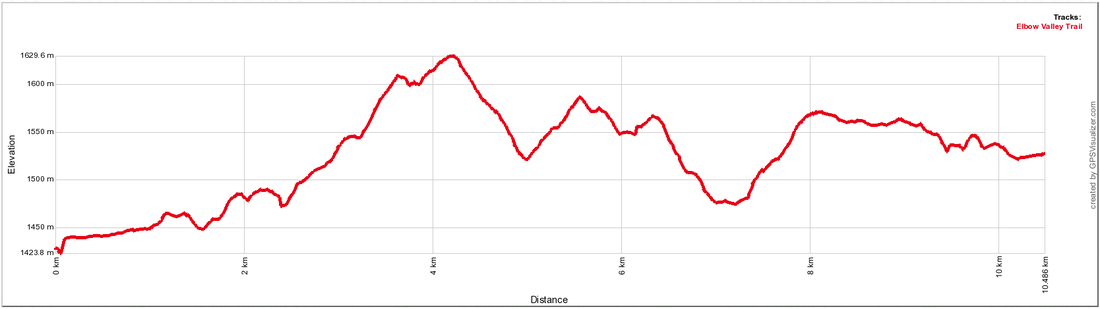
Elevation Gain: 200m Total Elevation Gain: 479m Physical Difficulty: 3/5 Technical Difficulty: 3/5 Time: 1.25 - 2.5 Hrs 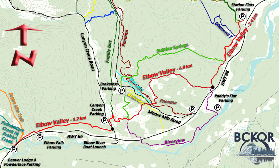
|
To Get Here: From the 4 way stop on HWY 22 next to Bragg Creek, take HWY 22 south to a T intersection. Turn right (westbound) on HWY 66. Elbow Valley Trail runs between Station Flats (11km down Hwy 66) and Powderface (19km down Hwy 66) Parking lots.
Trail Description (East to West):
Head to the SW corner of the Station Flats parking lot to find the trail entrance. Just past the entrance, keep left at the first Diamond T intersection and continue through the forest for 700m before keeping left past the second Diamond T intersection. Enjoy a fast open trail through meadows before reaching the Sulphur Springs intersection that climbs to the right at 1.5km. Elbow Valley trail continues it's fast up and down flow with a slow overall climb until passing the Riverview junction at 2.4km. Keep right and climb steeply for 1.7km to the trail's summit before switching modes and dropping back down for 800m. As you start to climb back up, at 5.2km you'll cross over Pneuma, Moose Mtn Road and Brakeless before resting your legs as you enjoy a short descent back down to Riverview and Sulphur Springs junction. From this point, the trail becomes more technical with occasional fall hazards to novice riders. Climb a short distance before beginning a sharp technical descent down to the Family Guy intersection. Continue the descent across Canyon Creek and out the Canyon Creek Road. Watch for the continuation of Elbow Valley Trail off the right side of the road. This marks the start of your last climb. The trail remains technical as you side-hill across a steep drop down to HWY 66, before popping out at the Prairie Creek bridge and the Powderface parking lot. | |||||||

go to Moose Mtn Area MTB Trails (click here)
go to Bragg Creek Area MTB Trails (click here)
go to Mountain Bike Trails (click here)
go to Mountain Bike Home (click here)
go to Bragg Creek Area MTB Trails (click here)
go to Mountain Bike Trails (click here)
go to Mountain Bike Home (click here)