Moose Connector & Moose Loop (x-country ski only)
Moose Connector
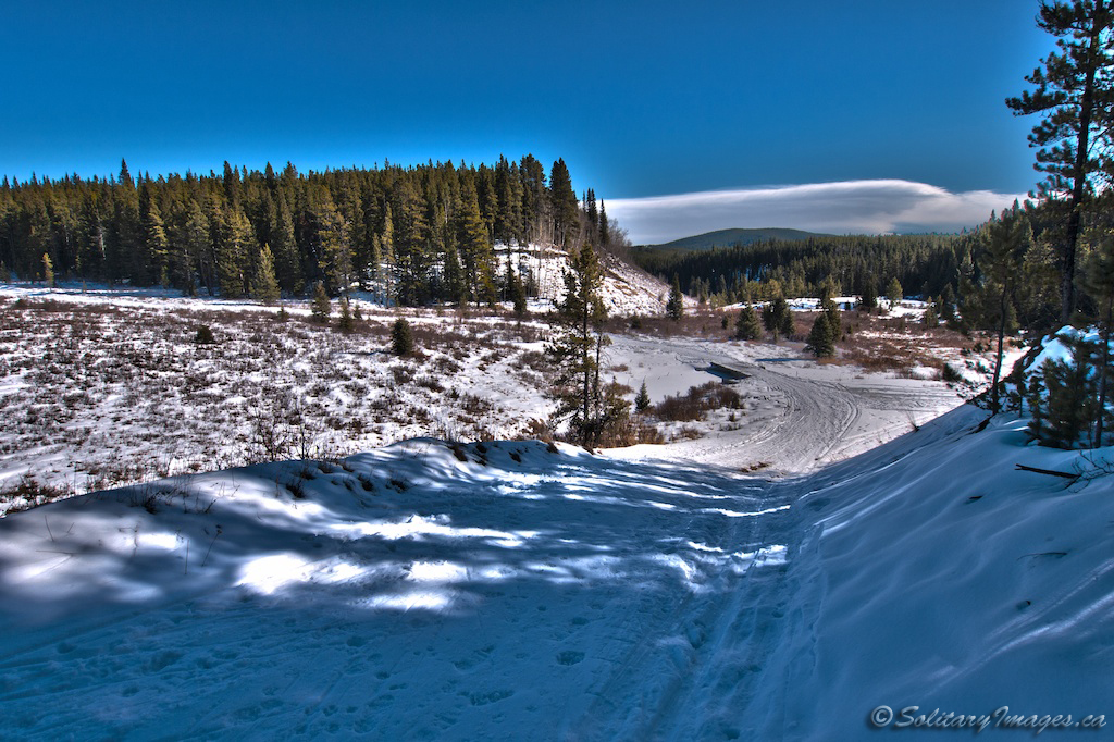
Not just a connector trail. A short but fun trail with a thrilling drop into the valley and a quick climb back up to the Moose Meadow.
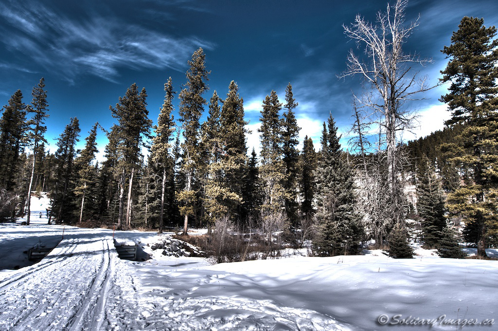
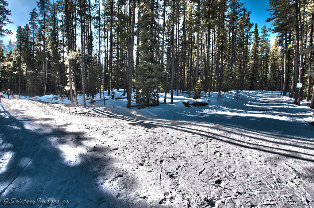
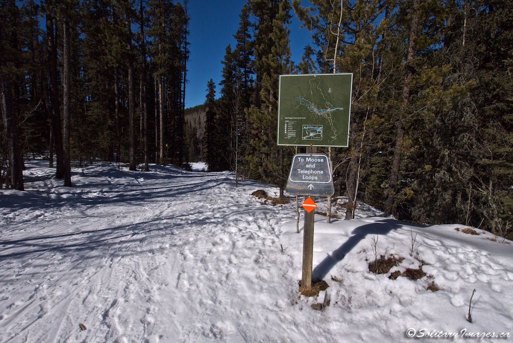
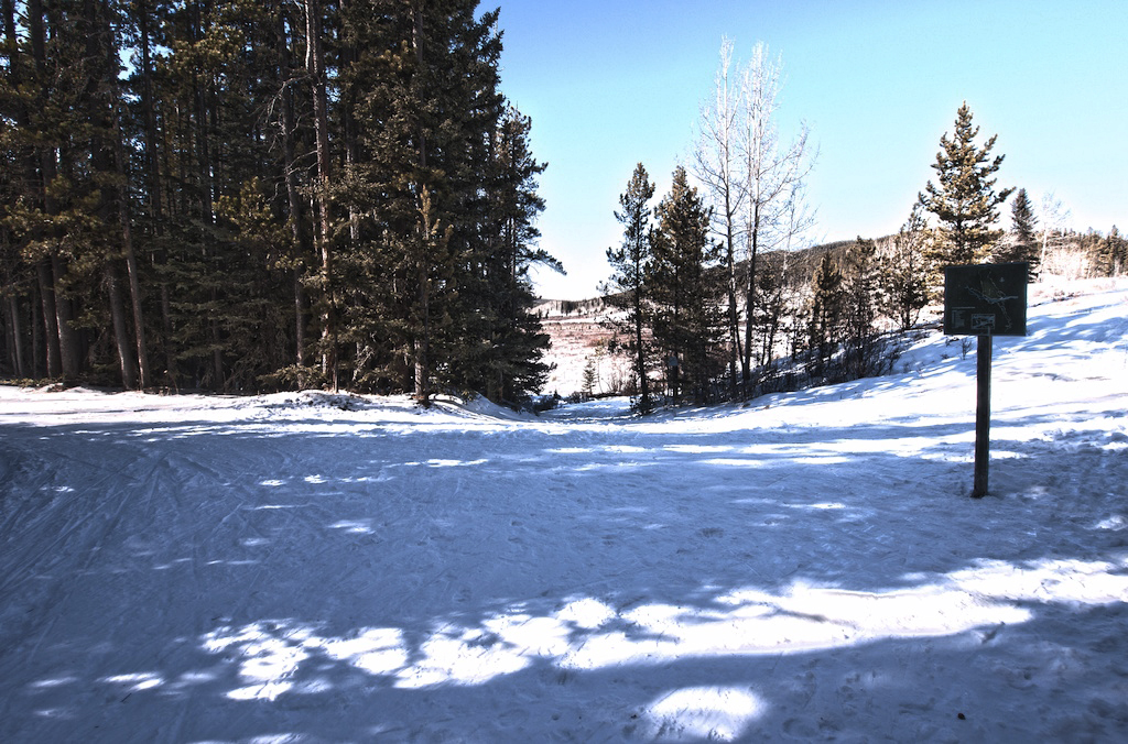
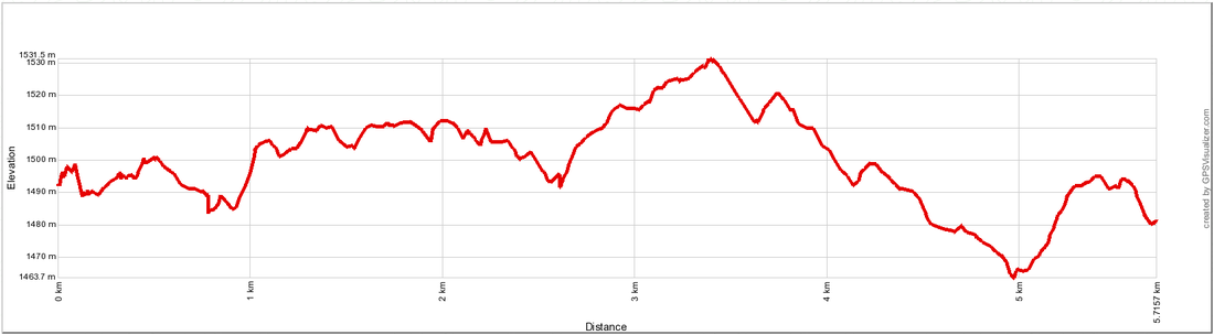
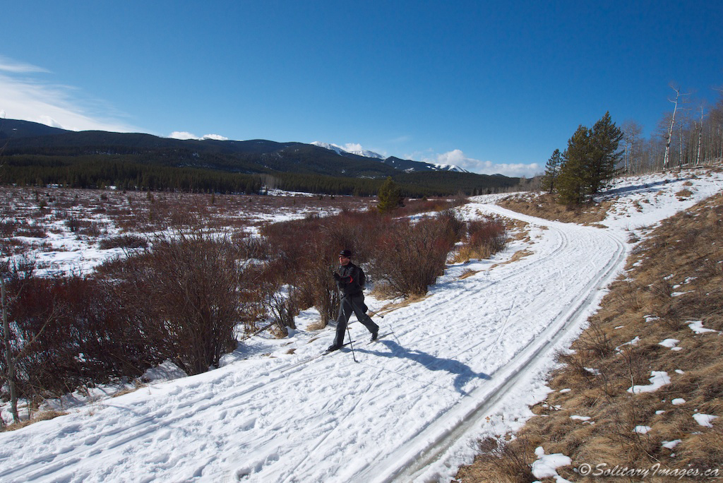
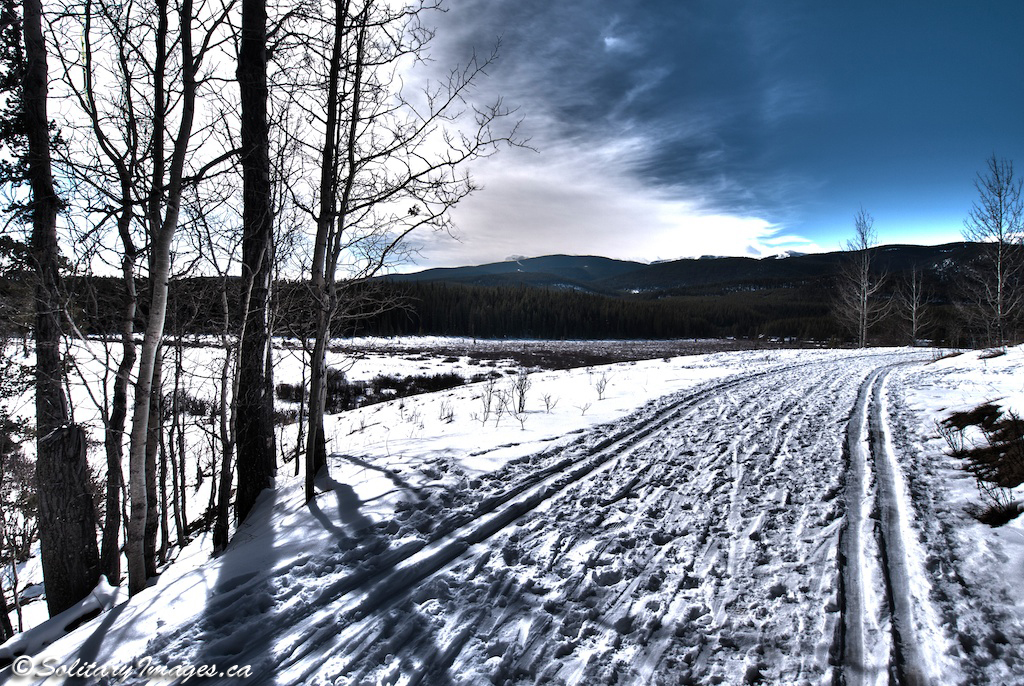
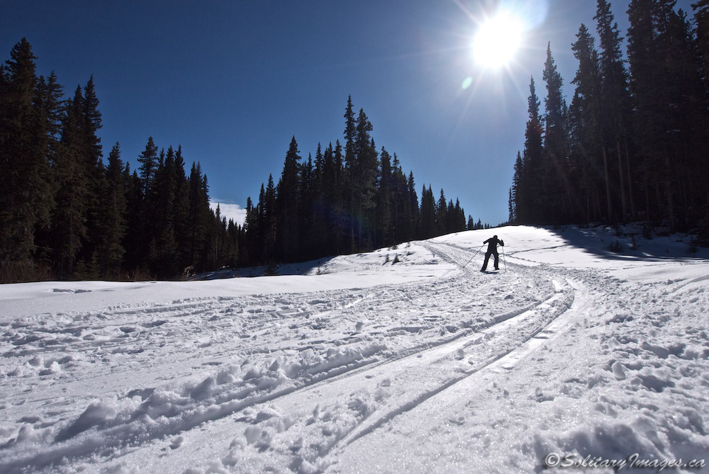
Trail Description: From the junction of Crystal Line West and Moose Connector (photo #2/#3) turn right and head up a short distance before dropping back down across Mountain Road and into the valley bottom. Cross the bridge in the open valley and climb back up a short steep hill (photo #1). Just under a kilometer later you'll intersect with Moose Loop (photo #4).
|
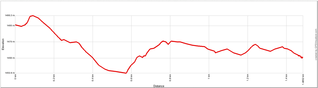
Distance: 1.5km one - way
Elevation Gain: 5m Total Elevation Gain: 55 m Physical Difficulty: 2/5 Technical Difficulty: 2/5 Time: 0.2 - 0.4 Hr 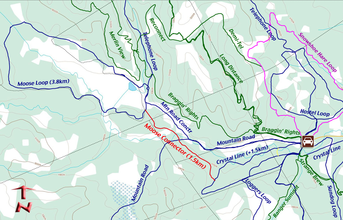
|
Moose Loop
Arguably, the most scenic trail in West Bragg Creek. A beautiful meadow (a small lake in the spring) that's prime moose territory with a view of Moose Mountain in the distance (I wonder why it's called Moose Loop?). This loop circumnavigates the meadow providing great ski trails in and out of the forest, along with continuous views.
If you want to enjoy this loop hiking or snowshoeing, access the loop via braggin' rights and Telephone Loop, staying to the side of the ski trails. Once at the meadows, there are numerous walking trails that often crisscross the meadows.
If you want to enjoy this loop hiking or snowshoeing, access the loop via braggin' rights and Telephone Loop, staying to the side of the ski trails. Once at the meadows, there are numerous walking trails that often crisscross the meadows.
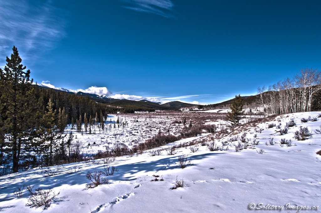
Trail Description: (counter-clockwise) You can reach Moose Loop via a portion of Crystal Line and the Moose Loop Connector (3.0km), Telephone Loop (12.9km), or the Mountain Road Connector (2.4km). The loop can be skied in either direction but counter clockwise seems to be most popular. At the junction, turn right and follow the ski track as it circumnavigates the meadow on a bench, just above the flats (photo #1). A short distance later, you'll come across the Telephone Loop exit. Keep left and continue uninterrupted until you reach the Tom Snow intersection at the end of the meadow (photo #2). Keep left again and enjoy a few small hills before reconnecting at the original junction (photos #3/#4).
|
Distance: 3.8km
Elevation Gain: 38 m Total Elevation Gain: 107 m Physical Difficulty: 2/5 Technical Difficulty: 2/5 Time: 0.75 - 1.25 Hr 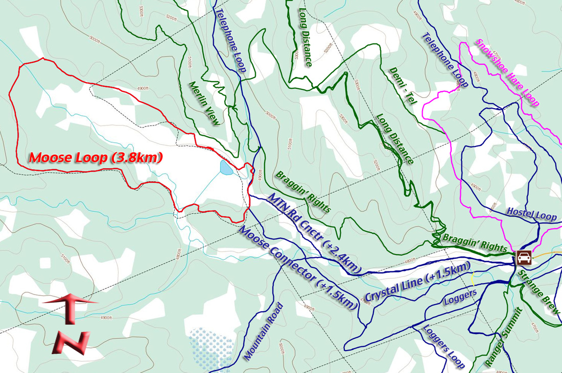
| ||||||
go to West Bragg Creek Nordic Trails (click here)
go to Nordic Ski & Snowshoe Areas (click here)
go to Nordic Ski & Snowshoe Home (click here)
go to Nordic Ski & Snowshoe Areas (click here)
go to Nordic Ski & Snowshoe Home (click here)