Tom Snow South
Tom Snow was the original essential north/south link from Station Flats, all the way to Sibbald Flats. The southern portion between Mountain Road and Station Flats, is far more popular for mountain bikers than the norther portion which sees more Horseback traffic. In 2010, Ridgeback was built as a parallel but drier and more exciting alternative and has become the popular choice for bikers. Tom Snow has become the easier, or faster exit option to Ridgeback during the dry season.
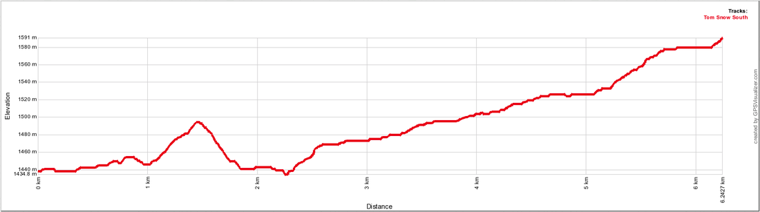
Distance: 6.2 km (one-way)
Elevation Gain: 153m Total Elevation Gain: 229m Physical Difficulty: 2/5 Technical Difficulty: 2/5 Time: .6 - 1.25 Hr (one-way) 
|
To Get Here: From the 4 way stop on HWY 22 next to Bragg Creek, take HWY 22 south to a T intersection. Turn right (westbound) on HWY 66. Travel 11.0 km west down HWY 66 to Station Flats. Station Flats is located on the right hand side of the road past the Elbow River bridge and Allan Bill Parking.
Trail Description:
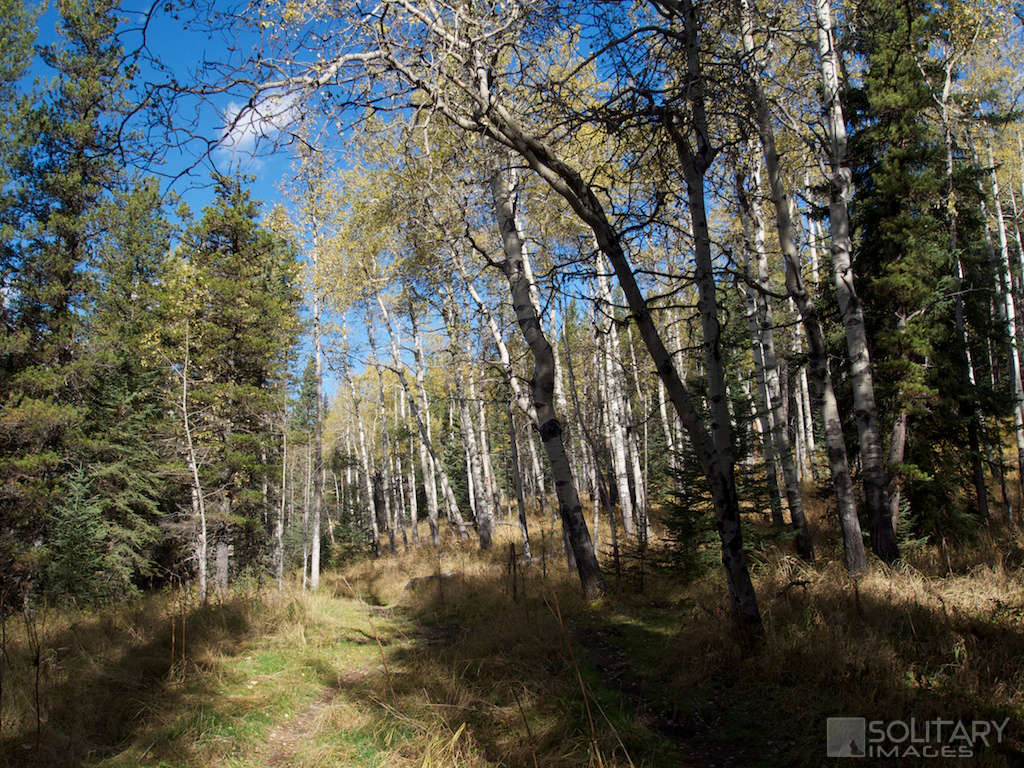
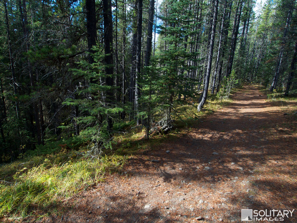
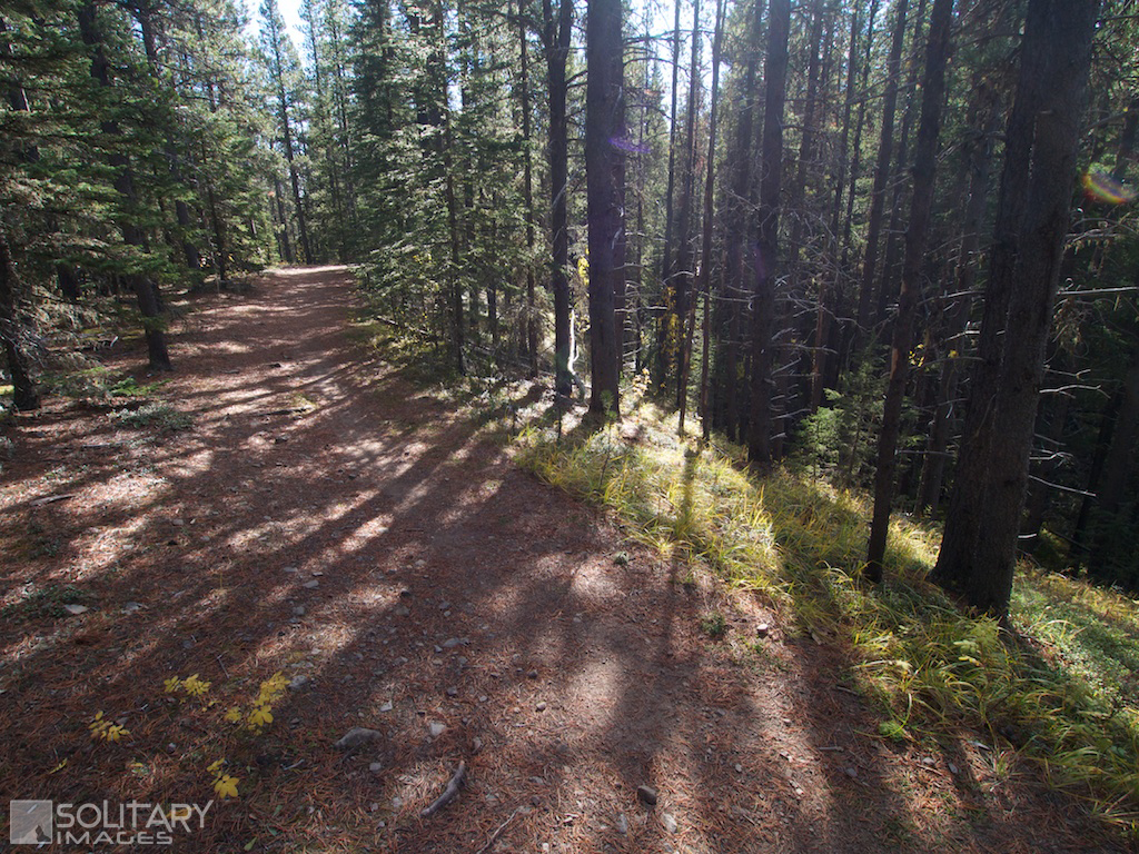
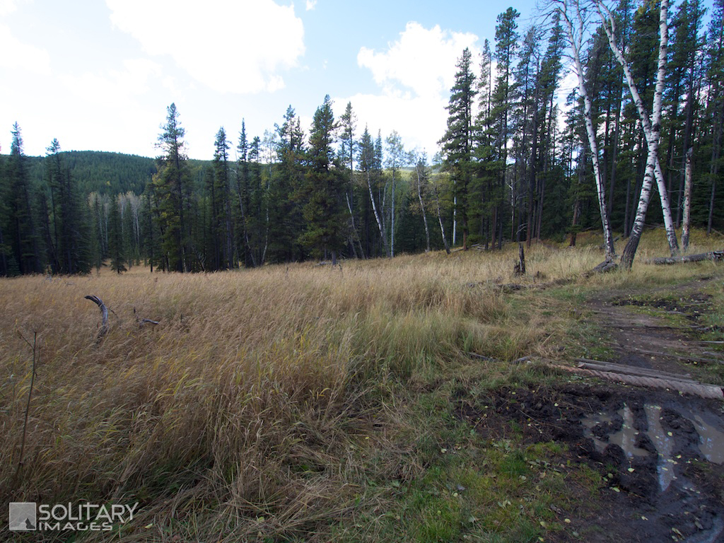
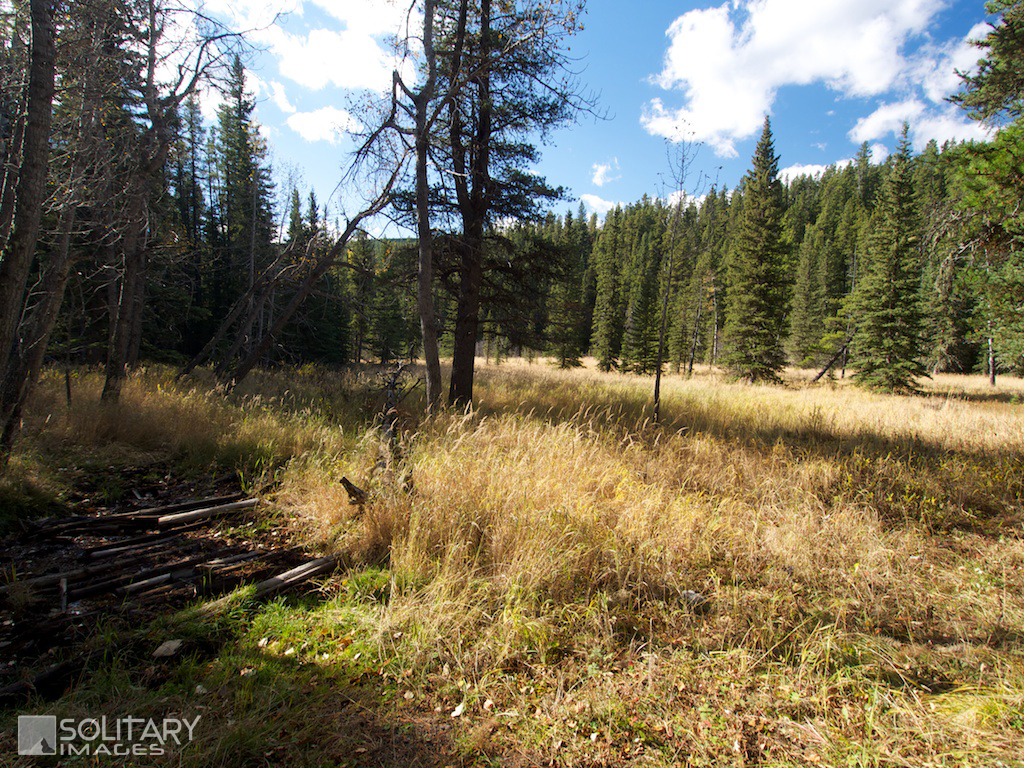
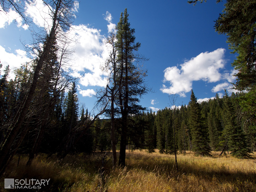
Ride to the SW corner of the Station Flats parking lot, to find the trail entrance. At the first branch turn right onto Diamond-T/Tom Snow Trail and start a moderate climb towards the Ridgeback/Tom Snow junction. At the junction, turn right to start on Tom Snow Trail. Enjoy a short descent before beginning the crux climb. After 500m you'll pass the second Ridgeback junction and continue the climb on Tom Snow to the first summit. Switch rolls and start the descent back down to the valley bottom. Enjoy some flat valley floor cruising past the third Ridgeback intersection and across a creek. As you enter a meadow, you'll pass Bobcat on the right, which provides access to West Bragg Creek Trails. Tom Snow and Ridgeback split 200m past Bobcat with Tom Snow taking the more moderate ascent to the left. Continue a long steady climb passing the Special K exit off your left. After 2.8km you'll re-intersect with Ridgeback in the middle of the last big climb before leveling off and coasting to the next split. Turn right and continue for another 500m to the Mountain Road Intersection. To continue on the full Tom Snow Trail, turn right and follow the joint Mountain Road/Tom Snow Trail to the Northern portion junction. | |||||||
go to Moose Mtn Area MTB Trails (click here)
go to Bragg Creek Area MTB Trails (click here)
go to Mountain Bike Trails (click here)
go to Mountain Bike Home (click here)
go to Bragg Creek Area MTB Trails (click here)
go to Mountain Bike Trails (click here)
go to Mountain Bike Home (click here)