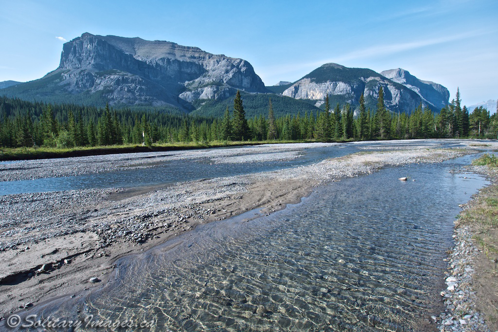
A jaw dropping amphitheater of smooth cliffs provides countless rock and ice climbing opportunities. Large multi-pitch routes and unique ice climbs encompass the area. Several hiking trails will let you get up on top of the amphitheater without a rope and there is some limited mountainbiking as well as OHV trails. This magical area is steeped in first nations history and you can easily drift back in time, reading some of the many tales about the great battles that were fought.
If you plan on having a fire, please check Alberta Fire Bans, to see if there are any restrictions first.
For more info on the areas click these links: Alberta Parks - Ghost River Wilderness Area
Alberta Sustainable Resource Development Ghost Public Land Use Zone
If you plan on having a fire, please check Alberta Fire Bans, to see if there are any restrictions first.
For more info on the areas click these links: Alberta Parks - Ghost River Wilderness Area
Alberta Sustainable Resource Development Ghost Public Land Use Zone
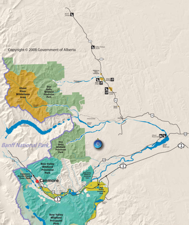
_Map(s) produced by Kananaskis Region | Parks Division | Tourism, Parks and Recreation Ministry, Government of Alberta
| Click to Download Interactive Map |
Burnt Timber
Located on Timber Creek
|
To Get Here: Take HWY 40 (Forestry Trunk Road) north from HWY 1A, just east of Ghost Lake. Continue north for 65km to the campground. |
Fallen Timber South
|
To Get Here: Take HWY 40 (Forestry Trunk Road) north from HWY 1A, just east of Ghost Lake. Continue north for 40km to the campground. |
Ghost Airstrip
North Ghost (Main Camp)
North Ghost (Group Campground)
Ghost Airstrip (Group Campground)
|
To Get Here: Take HWY 40 (Forestry Trunk Road) north from HWY 1A, just east of Ghost Lake. Continue north for 40km to the campground. |
Waiparous Creek
|
To Get Here: Take HWY 40 (Forestry Trunk Road) north from HWY 1A, just east of Ghost Lake. Continue north for 37km to the campground. |
Ghost River
|
To Get Here: Take HWY 40 (Forestry Trunk Road) north from HWY 1A, just east of Ghost Lake. Continue for 21.4km until Richards Road joins HWY 40. Continue North on HWY 40 for another 200m to a dirt road on your left. Cross a cattle guard gate and pass a sign board on your right. Continue for another 16km sticking to the main road, until you come to the "Big Hill". This hill is loose, so unless you have a four wheel drive or you want to chance not getting back up, this is the end of the road. |
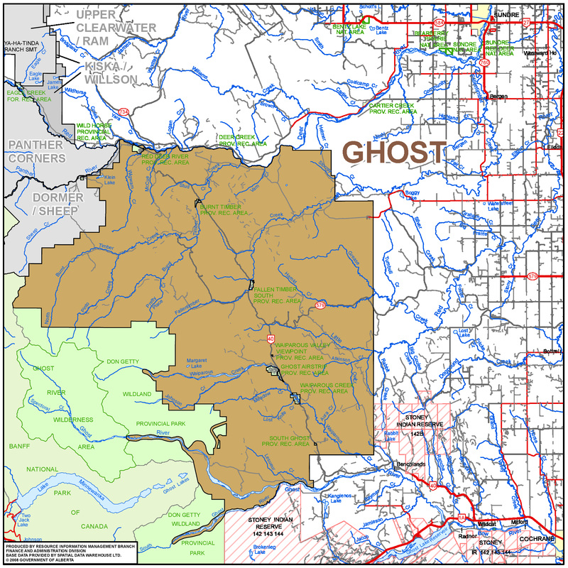
Map produced by Sustainable Resource Development
| Click to Download Interactive Map |
go to Campground Areas (click here)
go to Backcountry Campgrounds (click here)
go to Bragg Creek Campgrounds (click here)
go to Canmore & Spray Lake Campgrounds (click here)
go to Highway 40 Campgrounds (click here)
go to Highwood Campgrounds (click here)
go to Peter Lougheed Campgrounds (click here)
go to Sheep River Campgrounds (click here)
go to Sibbald Campgrounds (click here)