This area is one of the best mountain bike destinations in Kananaskis. There are multiple mountain bike trails criss- crossing the hills and taking you into alpine vistas. It also offers equestrian, OHV and snowmobile trails. Below is a complete list of Campgrounds that are located down HWY 66 west of Bragg Creek in the Elbow Valley.
These Camping sites are all located along the scenic HWY 66. The sites are arranged in order as you will pass them driving down HWY 66 west of Bragg Creek. Hwy 66 is gated at the Elbow Falls turnoff and is only accessible beyond this point from May 15 - December 1
If you plan on having a fire, please check Alberta Fire Bans, to see if there are any restrictions first.
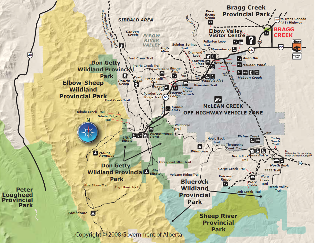
_Map(s) produced by Kananaskis Region | Parks Division | Tourism, Parks and Recreation Ministry, Government of Alberta
| Click to Download Interactive Map |
Gooseberry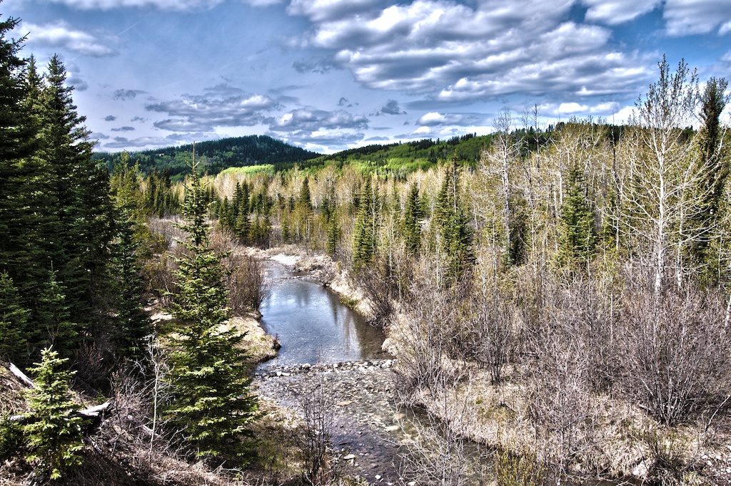
Wedged Between Connop Creek and the Elbow River, Gooseberry is the first campground inside Kananaskis on HWY 66.
|
To Get Here: From the 4 way stop on HWY 22 next to Bragg Creek, take HWY 22 south to a T intersection. Turn right (westbound) on HWY 66. Travel 5.8 km west down HWY 66 past the Visitor Info entrance to the Campground entrance on the right. |
McLean Creek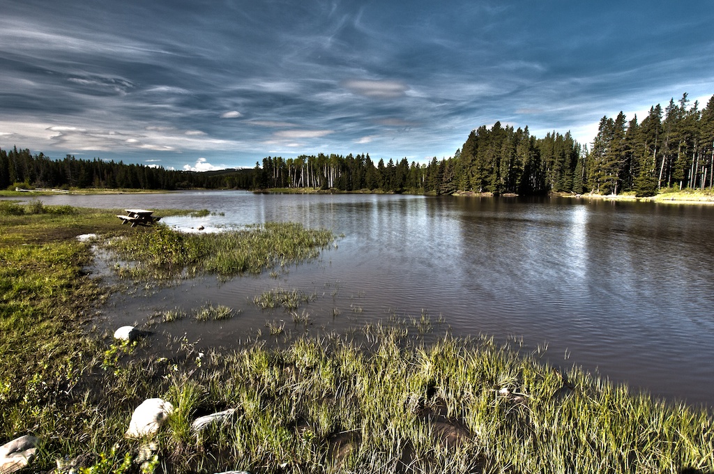
Situated next to McLean Pond at the entrance to McLean Creek. McLean Pond is stocked with trout and provides good fishing. McLean Creek Area has a very large network of Off Highway Vehicle Trails and this site is a great base for those planning on using the trails. 10. 4km West of HWY 66 and HWY 22 Intersection, down HWY 54A. The gate for Range Road 54a, the road from McLean Creek to Millarville is closed from December 1 - May 1.
|
To Get Here: From the 4 way stop on HWY 22 next to Bragg Creek, take HWY 22 south to a T intersection. Turn right (westbound) on HWY 66. Travel 8.4 km west down HWY 66 to the McLean Creek turn off on the left. Continue down this road for 1.4km past the store and turn right. |
River Cove (Group Site)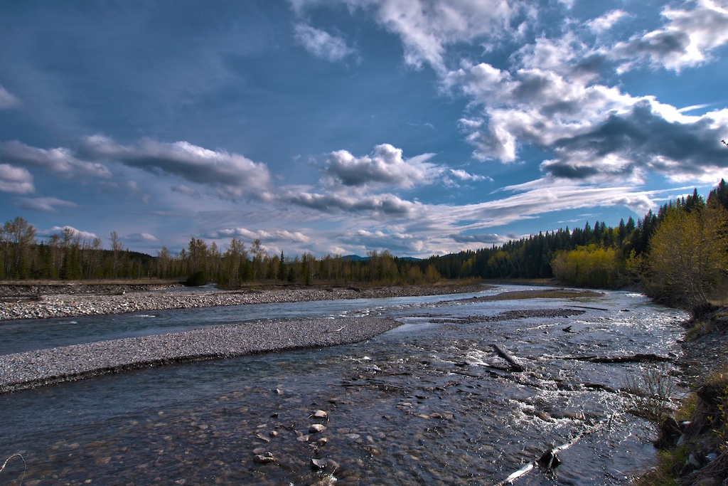
A scenic bend in the river encompasses this campground. If you want to spend your time on West Bragg Creek Trails, this is a great spot to base your camp. Allen Bill Pond is also located next to the site and provides good trout fishing. Located 10. 1km down HWY 66 west of HWY 22 Intersection.
|
To Get Here: From the 4 way stop on HWY 22 next to Bragg Creek, take HWY 22 south to a T intersection. Turn right (westbound) on HWY 66. Travel 10.1 km west down HWY 66. River Cove entrance is on your left just past the Allen Bill Pond entrance. |
Paddy's Flat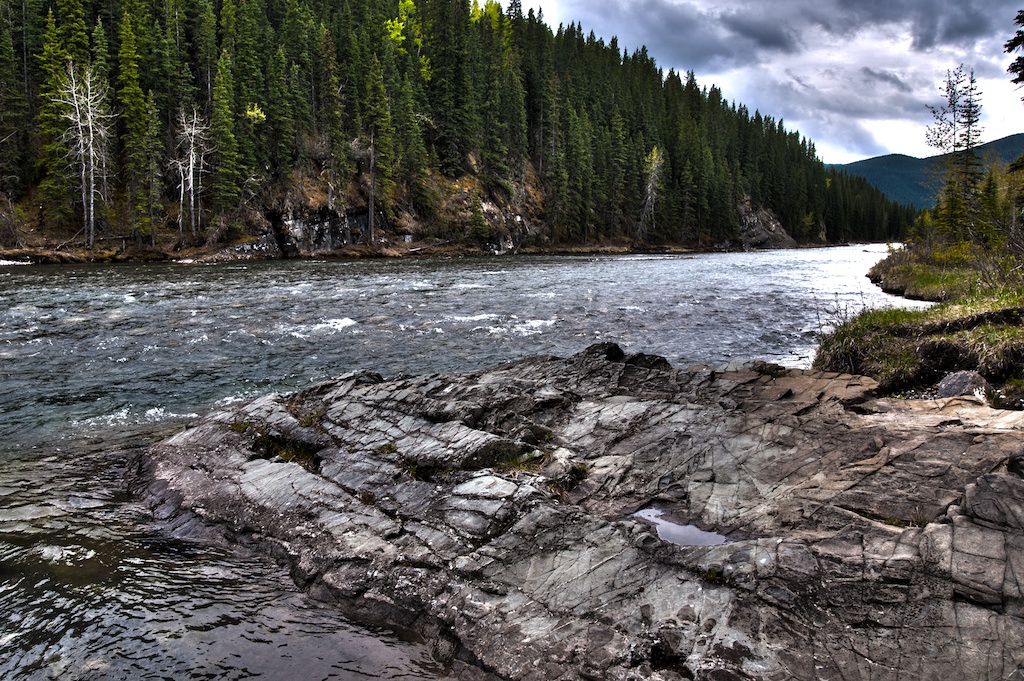
A great launching point for every activity in the area especially mountain biking. Access to Moose Mountain Trails is right across the road and you can easily link into West Bragg Creek Trails. West down HWY 66, 13. 1km from HWY 22 Intersection
(Main Site)
(Group Site)
|
To Get Here: From the 4 way stop on HWY 22 next to Bragg Creek, take HWY 22 south to a T intersection. Turn right (westbound) on HWY 66. Travel 13.2 km west down HWY 66. Paddy's Flat entrance is on your left. 
|
Beaver Flats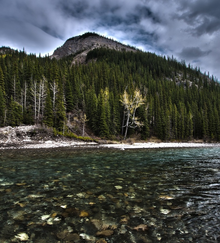
A scenic area located beside the Elbow River close to Elbow Falls. Countless biking and hiking trails can be accessed directly from the campsite. 20km west of HWY 22 Intersection, on HWY 66.
|
To Get Here: From the 4 way stop on HWY 22 next to Bragg Creek, take HWY 22 south to a T intersection. Turn right (westbound) on HWY 66. Travel 20.1 km west down HWY 66. Beaver Flats entrance is on your left. This section of HWY 66 is closed between Dec 1 to May 14 |
Little Elbow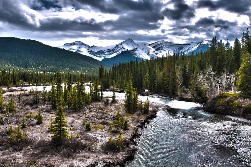
Located at the end of HWY 66, Little Elbow Recreation Area is the access point for Don Getty Wildland Park. Numerous hike, bike and equestrian trails are available from this area. Located at the end of HWY 66, 27. 5km from HWY 22 Intersection.
(Main Camp)
(Equestrian)
|
To Get Here: From the 4 way stop on HWY 22 next to Bragg Creek, take HWY 22 south to a T intersection. Turn right (westbound) on HWY 66. Travel 27.6 km west down HWY 66 to the end of the highway. Take the road to the left and follow this to the end. This section of HWY 66 is closed between Dec 1 to May 14 
|
go to Campground Areas (click here)
go to Backcountry Campgrounds (click here)
go to Canmore & Spray Lake Campgrounds (click here)
go to Ghost Area Campgrounds (click here)
go to Highway 40 Campgrounds (click here)
go to Highwood Campgrounds (click here)
go to Peter Lougheed Campgrounds (click here)
go to Sheep River Campgrounds (click here)
go to Sibbald Campgrounds (click here)